
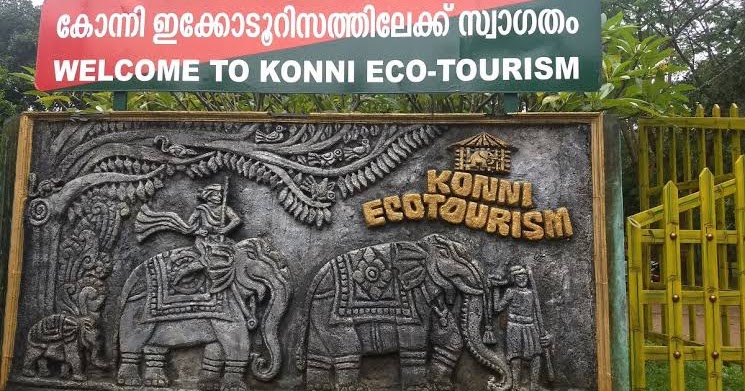
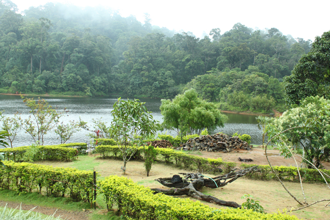

Formed on 1stNovember 1982, Pathanamthitta is the youngest district in the southern part of Kerala. It is known for pilgrim tourism, its reserve forest and wildlife, vast unending stretches of forests, rivers and rural landscapes. The district consists of three natural divisions, the lowland, the midland and the highland. The highland stretches into the Western Ghats and descends into the midland at the centre. Down to the lowland and coconut gardens at the western borders of the Alappuzha district. The topography of the place is highly undulating. It starts from the tall hill slopes covered with thick forests on the east along the mountains down to the valleys and small hills of the land of coconut trees in the west. The landlocked district comprises four municipalities, eight blocks Panchayath and fifty-three Grama Panchayath. The main crops raised in the district are paddy, tapioca, rubber, sugarcane, coconut, black pepper, plantain and vegetables.
Soil types of the district mainly consist of laterite and its variations. Other soil types such as river bank alluvium and peaty soil are also found, in some parts of the district. The mean annual rainfall is 3134 mm and, agro-ecological situations are South Central Laterite (AEU-9), Southern and Central Foot Hills (AEU-12), Southern High Hills (AEU-14) and Kuttanad (AEU-4). The significant four seasons are the hot weather (March to May), South-west monsoon (June to September), the retreating North-East monsoon (October to November) and dry weather (December to February).
| Total Population | 11,97,142 Nos. |
|---|---|
| Male | 5,61,716 Nos. |
| Female | 6,35,693 Nos. |
| SC | 1,64,465 Nos. | ST | 8,108 Nos. |
| Total Area | 2,68,750 ha. |
| Net sown Area | 83,332 ha. |
| Cropped Area | 1,08,600 ha. |
| Irrigated Area | 7,627 ha. |
| Current Fallow | 35772 ha. |
| Forest Area | 1,55,214 ha. |
| Source :censusindia.gov.in & Panchayat Level Statistics |
Area,Production and Productivity of major crops cultivated in the district | ||||
|
S. No |
Crop |
Area (ha) |
Production (Metric tons) |
Productivity (kg /ha) |
|
1 |
Paddy |
3101 |
8843 |
2865 |
|
2 |
Coconut |
15816 |
92(million nuts) |
5817 (No./ha) |
|
3 |
Banana |
2205 |
16528 |
7497 |
|
4 |
Pepper |
1687 |
621 |
368 |
|
5 |
Arecanut |
1053 |
643 |
610 |
|
6 |
Ginger |
301 |
1368 |
4545 |
|
7 |
Tapioca |
5176 |
226994 |
43856 |
| Source :Farm guide 2020 |